Log in to
https://mulgravecrp.wordpress.com
and follow link to Google Map showing almost 2000 items of historical interest researched from 19th and 20th century maps, and You Tube videos of our History Group activities
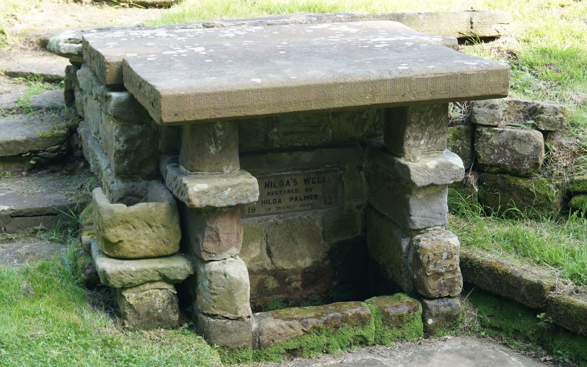
HINDERWELL is the most northerly parish in the Scarborough Borough Council area. Hinderwell is mentioned in the Doomsday Book as Hildrewell, and is said to have derived it’s name from St. Hilda, the Abbess of Whitby Abbey. Legend has it, that she was asked to intercede in a drought whilst passing through the village, and the water that sprang from the hillside still runs to this day.
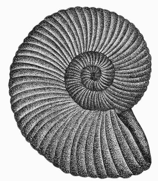
Ammonites are known locally as St. Hilda’s Snakes. Legend has it that she cleared a plague of venomous vipers by cutting off their heads and throwing them over the cliffs, which then petrified into the fossils.
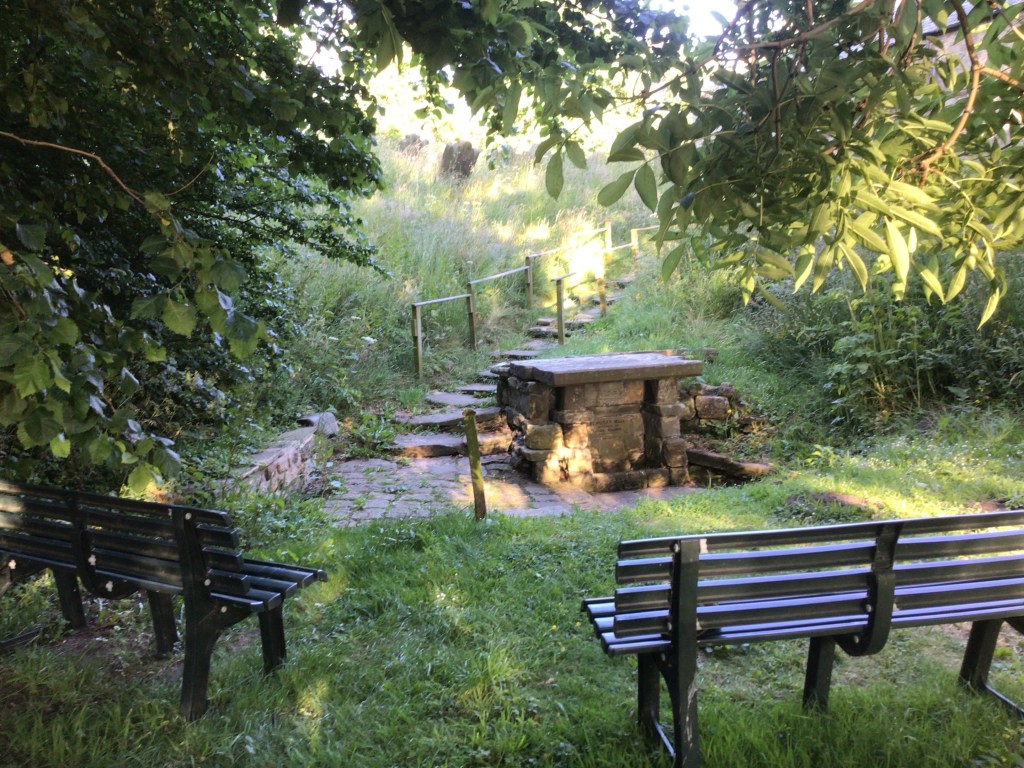
The Holy Well in St. Hilda’s Churchyard became a pilgrimage during the Middle Ages, as the water was said to have healing powers for eye conditions. It was the only source of water for the village before Ellerby Resevoir was built, when outside taps were installed in various locations.
HINDERWELL , previously an Urban District Council area, is now the centre of the Parish which is the largest and most northerly Parish on the coast in the North Yorkshire Council area, forming the boundary with Redcar and Cleveland.
It covers an area of 1659 acres and has a population of 1750.
During the eighteenth and nineteenth centuries, the fishing industries thrived in both Runswick Bay and Staithes – the latter becoming the principal fishing port on this part of the Yorkshire Coast. It provided employment for almost one thousand men in boat building, sailmaking, fish curing and in the transportation and selling of fish. When the railway came in the 1880’s, three special trains were needed each week to carry fish to inland markets. Today because of the introduction of trawlers, refridgeration, alternative employment and lack of shelter for larger boats, fishing employs only a handful of people. Staithes and Runswick Bay were ideal settlements for illegal trading, and were smugglers’ havens during the last century.
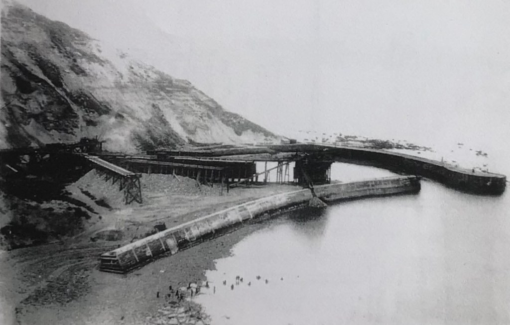
In the second half of the nineteenth century, iron started to be mined extensively in Cleveland, and mines developed at Grinkle, Port Mulgrave Staithes, and Runswick Bay. Fishermen abandoned their life at sea for a more secure livelihood. Unfortunately, all the mines became uneconomical and gradually closed by the early part of the twentieth century.
The arrival of the railway initially made the area more accessible for the tourist, and the twentieth century saw a gradual increase in the number of visitors to the Parish. The dramatic cliff scenery, fine beaches, picturesque fishing villages and the close proximity to the North York Moors and the larger tourist centres of Whitby and Scarborough, has made the area a favourite with many regular visitors. Runswick Bay and Staithes have changed little over the years, attracting numerous artists, to become the most painted villages on the north east coast. The historical connections with Captain James Cook has attracted many overseas visitors.
The area sustains a small mixed farming community, which declined dramatically following a foot and mouth outbreak. The number of farms in Hinderwell reduced from six to only two working farms.
Boulby Potash Mine is now the main source of employment, and the tourism industry plays a very important role in the local economy.
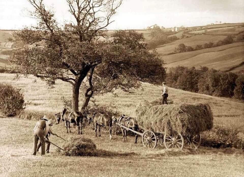
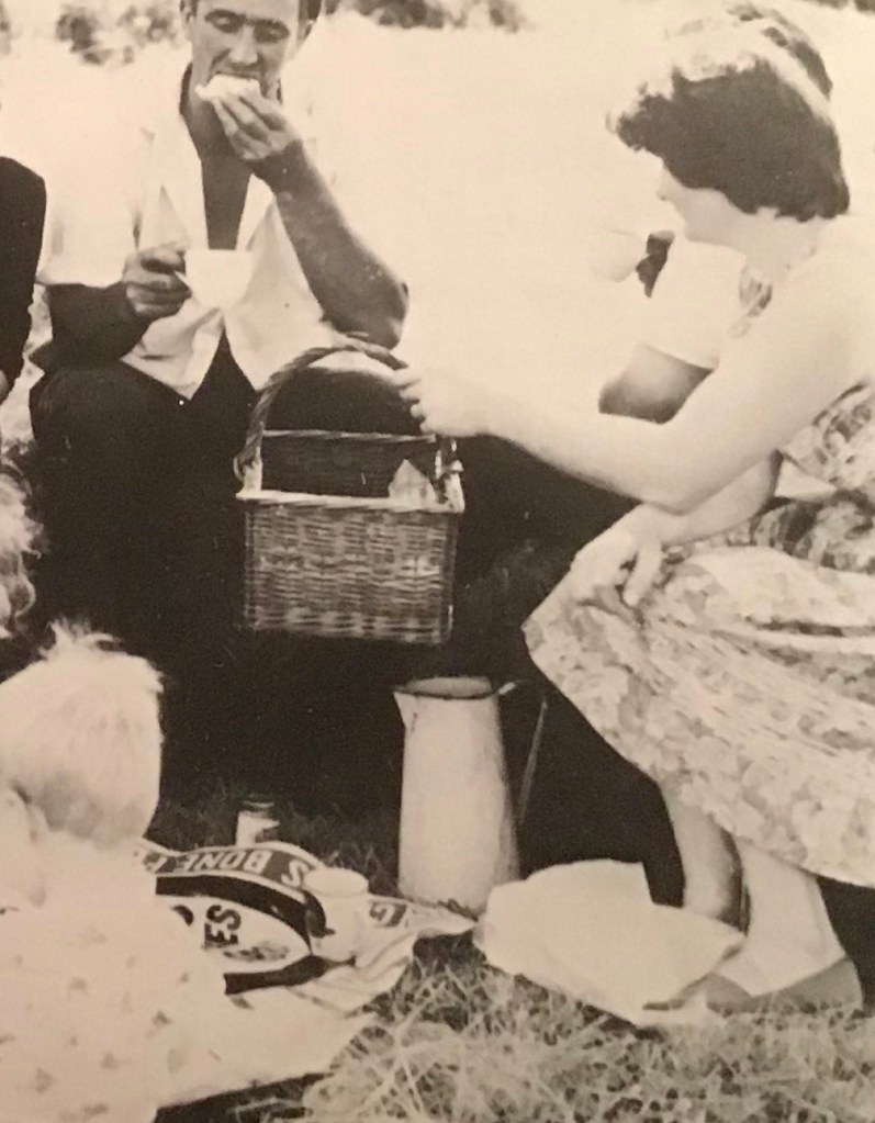
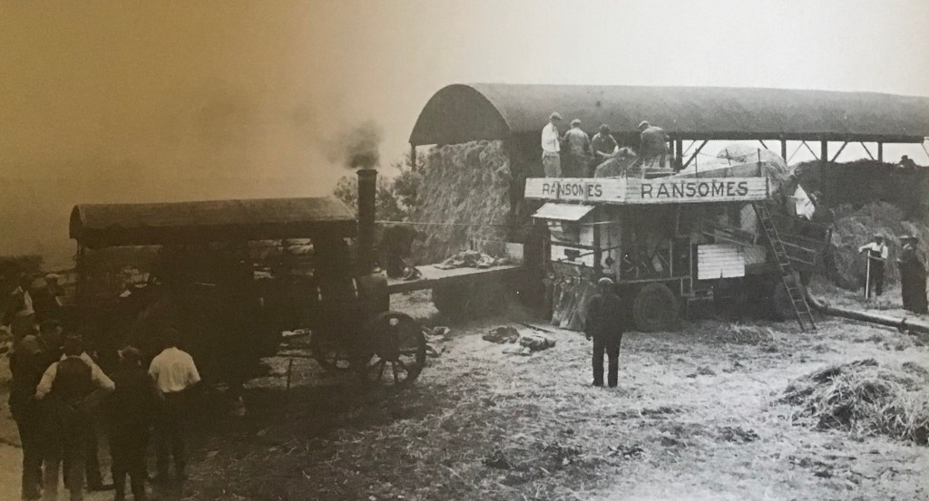
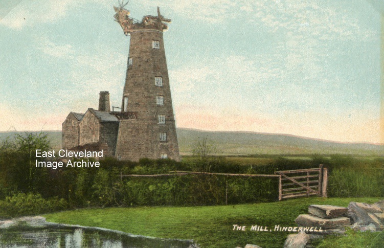
The corn would be taken to The Royal George Cornmill, seven stories high, located near the present day Serenity Campsite.
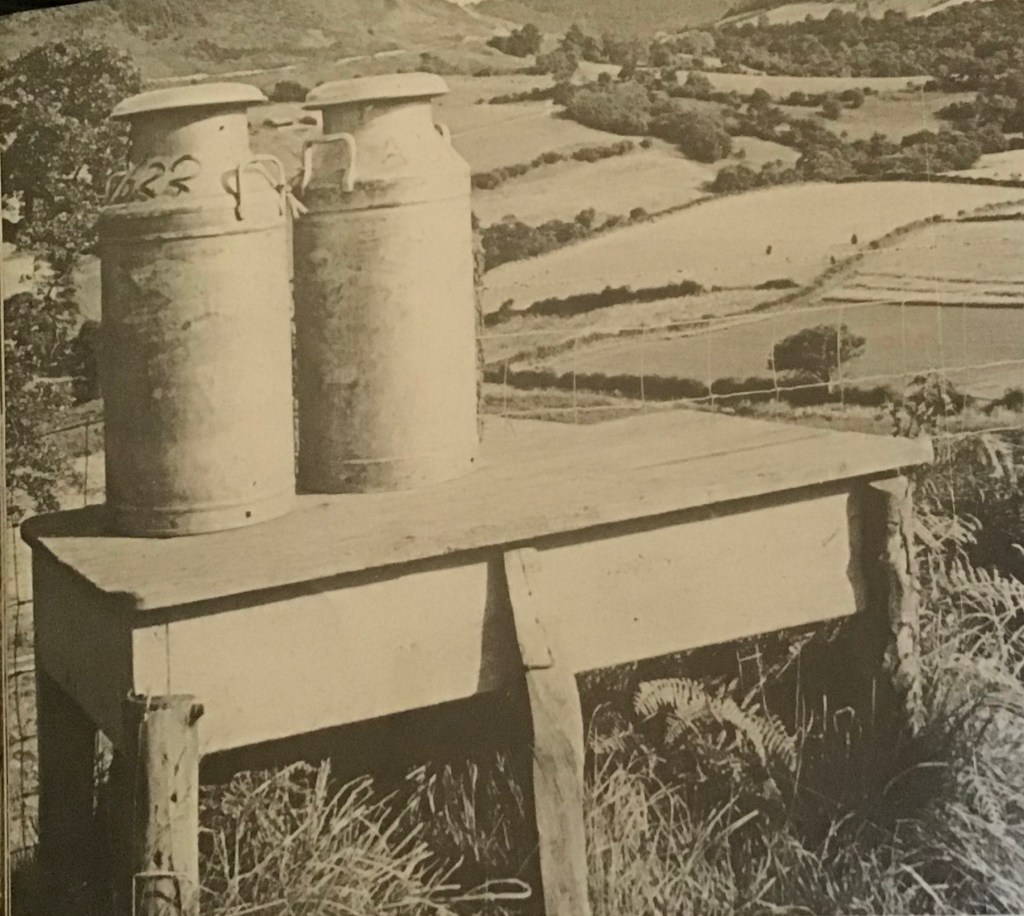
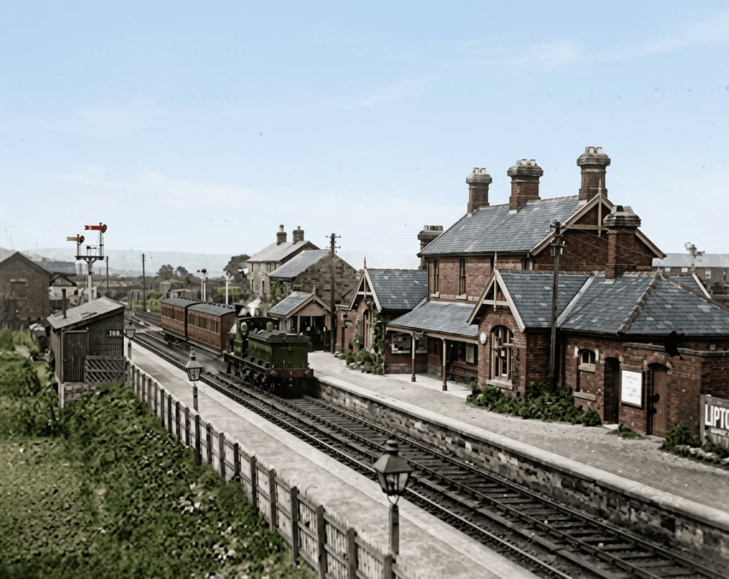
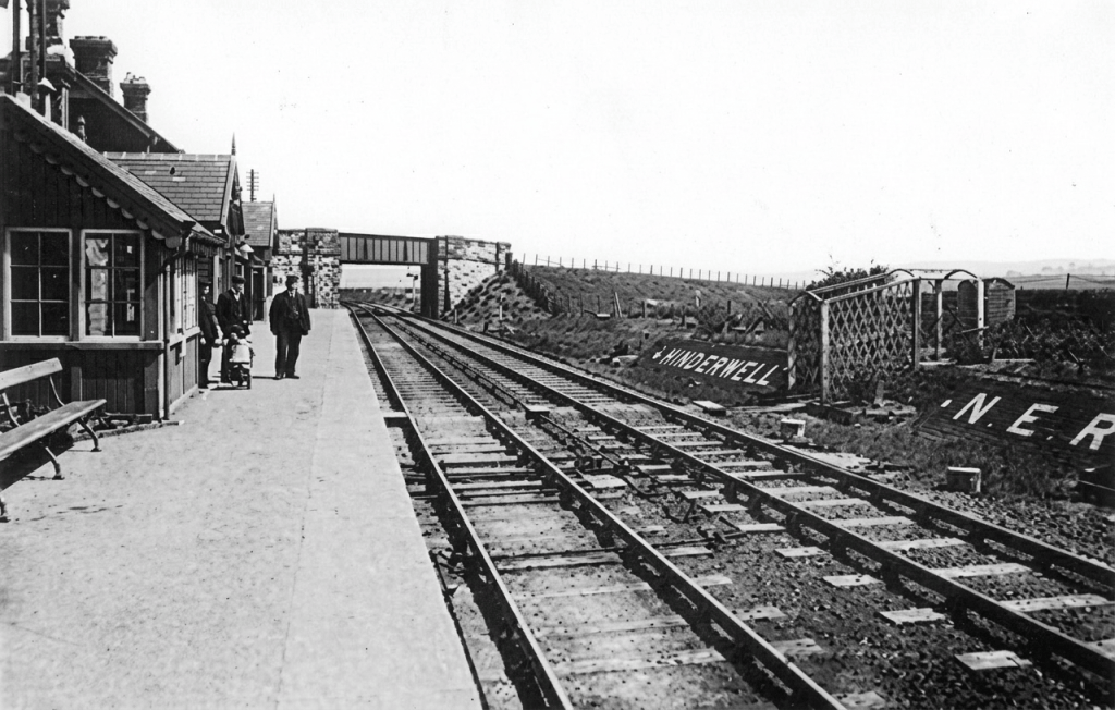
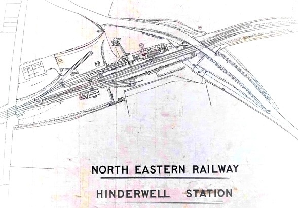
Hinderwell Station, on the Whitby, Redcar & Middlesbrough Union Railway